
LaGrange ZIP Directory Coverage
USPS sorting lists associate 30240, 30241, and 30261 with LaGrange. The first two are standard geographic delivery areas. Broad west, central, east, and northeast descriptions are useful orientation only, not hard neighborhood borders. The status of 30261 could not be confirmed as a staffed facility or Census ZCTA, so the LaGrange ZIP code directory treats it cautiously and does not assign it a population or neighborhood.
| ZIP Code | Areas Covered | Post Office | Notes |
|---|---|---|---|
| 30240 | West and central LaGrange; western Troup delivery area | LaGrange postal operation | Includes places outside the municipal line |
| 30241 | East and northeast LaGrange; eastern Troup delivery area | LaGrange Post Office, 950 Lafayette Parkway | Standard delivery ZIP; also used for city PO Box mail |
| 30261 | Exact delivery scope not established | Associated with LaGrange sorting | Likely special-use or non-geographic; confirm with USPS |
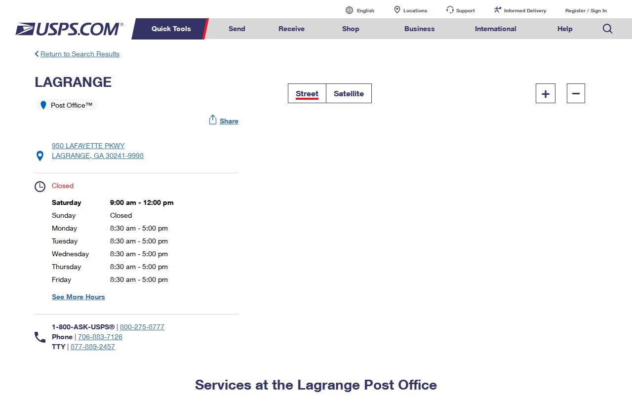
The verified retail facility is the LaGrange Post Office at 950 Lafayette Parkway, LaGrange, GA 30241-9998, phone 706-883-7126. It offers carrier service, General Delivery, PO Boxes, bulk-mail services, and passport service. Its location does not mean every delivery point in all three codes falls within LaGrange city limits.
Verify a LaGrange ZIP Code
Use the USPS ZIP Code Lookup for one delivery address. Enter the street number, street name, unit when present, city, and state. Use the standardized result instead of choosing a code from a broad map. A spelling correction, unit, or directional can change the returned delivery line.
| USPS input | Purpose |
|---|---|
| Street address | Identifies the delivery point |
| Apt, suite, or unit | Distinguishes secondary delivery locations |
| City | Supplies the mailing-city label |
| State | Limits the search to Georgia |
| Standardized result | Returns the postal form and ZIP or ZIP+4 |
USPS verification answers a mail-routing question. It does not decide whether the parcel is inside LaGrange, which planning office handles a permit, or which tax jurisdiction applies.
LaGrange ZIPs and ZCTAs
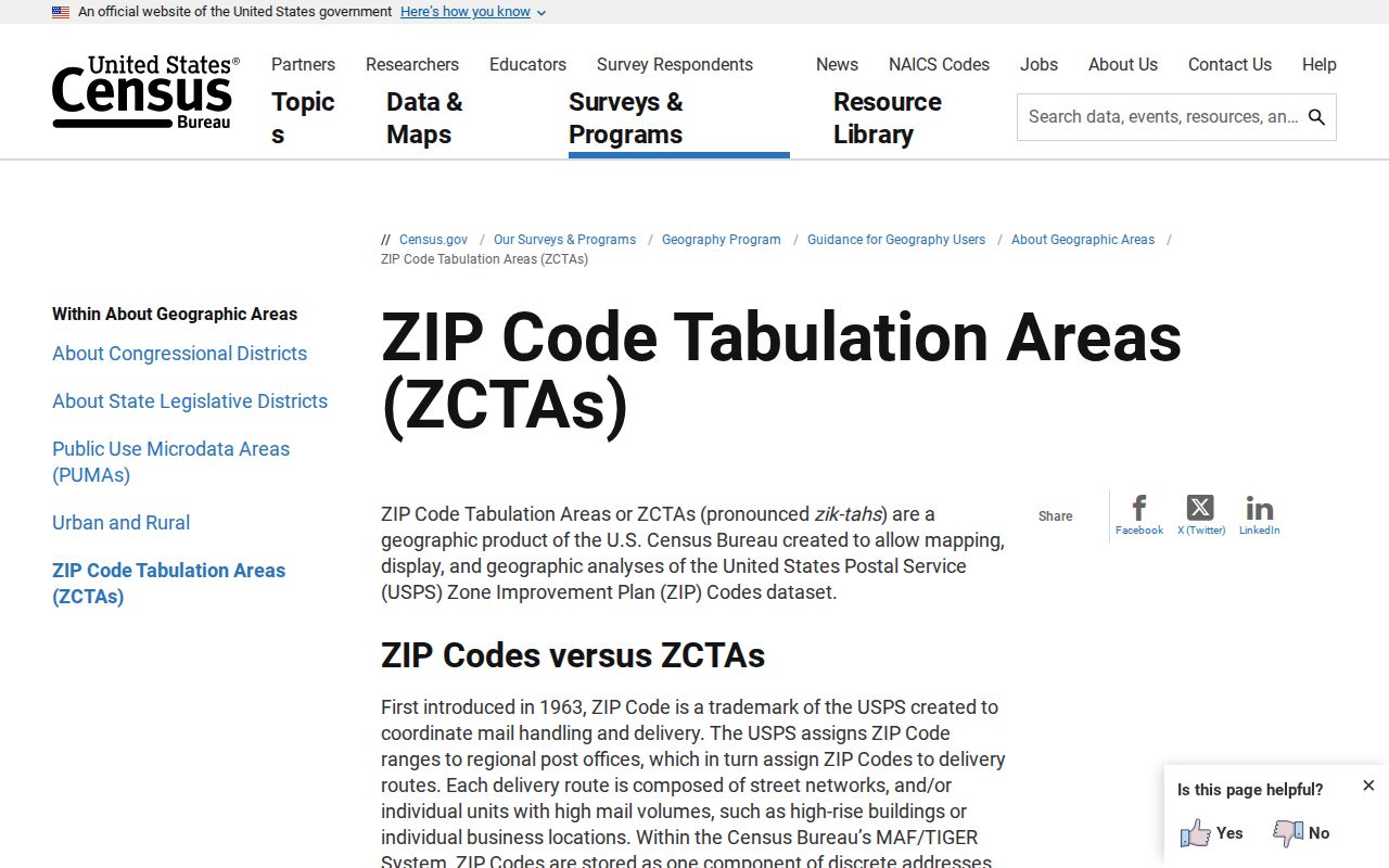
The Census Bureau's ZCTA guidance explains why ZIP statistics require care. A ZIP Code Tabulation Area is a generalized block-based approximation of USPS delivery geography. It is not the postal route itself. Some valid ZIPs have no matching ZCTA, especially codes used for PO Boxes or a unique organization.
A chart labeled 30240 ZCTA may summarize census blocks, while an address labeled 30240 reflects USPS operations. Cite the geography by its real name. The distinction prevents a statistical estimate from being presented as an exact count of residents served by a postal code.
Find LaGrange Residents by ZIP
No verified ZIP filter was captured in Troup qPublic or the Property Information viewer. Do not claim one. Instead, verify the delivery code first, use address-bearing documents where a ZIP is printed, and then confirm each parcel separately. The Georgia voter file layout contains residence city and ZIP, but it is an ordered public file governed by specific costs, restrictions, and confidentiality programs, not the private My Voter Page.
- Enter the full address in USPS ZIP Lookup and save the standardized delivery line.
- Open the official Troup property route and locate the parcel by street address, owner, or parcel identifier.
- Check the GIS location and city or county jurisdiction; do not substitute a ZIP boundary.
- Use lawful address-bearing records, such as city permit PDFs or an ordered voter file, only within their stated limits.
- Confirm each name or parcel with its source date before drawing a resident conclusion.
City permit valuation PDFs include service address and ZIP in each row, so downloaded reports can be searched as document text. They show permit number, status, date, issued-to name, fees, square footage, and improvement value. The issued-to person is not necessarily the owner or occupant. Once a ZIP narrows the area, use the LaGrange street directory for parcel-by-parcel work.
Rural LaGrange ZIP Records
A “LaGrange, GA” mailing line can identify an unincorporated Troup County address. For those parcels, Troup County assigns or changes addresses for new development, homes, and businesses under its address ordinance. The fee is $25, and the request goes to Building & Zoning at 100 Ridley Avenue. Inside city limits, confirm the city and GIS route instead of assuming the county assigns the number.
The historical record has the same geography problem. Troup County Rural Residents Directory titles appear in the verified microfilm run from 1977 onward. Those volumes may capture LaGrange postal households missed by older city-only canvasses. A postal label did not guarantee inclusion in an urban directory.
Note: Verify jurisdiction in GIS before contacting a permit or addressing office, even when the mailing city says LaGrange.
Read LaGrange Address Fields
Different records store different kinds of place data. The assessor's situs is the physical parcel location. The owner mailing address is where notices go and may be outside LaGrange. A deed's legal description identifies land through subdivision, lot, block, or metes and bounds. The parcel number is a tax-administration key. ZIP is for mail routing.
Copy every field exactly. Troup County did not publish a reliable parcel-number decoder in the source set, so do not infer district or lot meaning from its segments. When two sources disagree, the legal description and parcel geometry help establish land continuity, while USPS resolves delivery formatting.
LaGrange ZIP Neighborhood Context
Neighborhood names help describe LaGrange, but the research does not support drawing hard ZIP borders around them. The city's comprehensive plan identifies former mill residential villages named Hillside, Calumet, Dunson, Elm City, Unity, and Dixie. Downtown government offices cluster around Ridley Avenue, while the main post office is on Lafayette Parkway. These landmarks offer context for a search, not a substitute for address-level postal verification.
Older sources followed their own boundaries. City-directory canvasses focused on the urban area, while Troup County Rural Residents Directory titles appear in verified runs from 1977 through the late 1980s. A household with a LaGrange mailing city outside the older canvass might appear in a rural volume instead. Search both kinds of directory before treating an absence as proof.
Permit jurisdiction can change across nearby parcels even when both addresses share a ZIP. City parcels route to LaGrange Community Development or Code Enforcement. Unincorporated parcels route to Troup Planning and Building. GIS should settle that choice before a records request is filed.
Assigning Troup County Addresses
Troup County assigns addresses for development, homes, and businesses in the unincorporated county. Its address-assignment page links the form and ordinance. The fee is $25. Requests go with payment to Ramona Moore or Ruth West at Troup County Building & Zoning, 100 Ridley Avenue, LaGrange, GA 30240; questions go to 706-883-1650.
The county coordinates assignments with adjacent entities, while Building & Inspections enforces display. Troup GIS accepts road-name and address corrections. Within city limits, confirm the LaGrange route first. A county process should not be applied merely because the postal line says LaGrange.
LaGrange ZIPs Versus City Limits
ZIP Codes are not municipal polygons. A LaGrange postal address can fall in unincorporated Troup County, which changes the permit, code, and address custodian. The official Troup County GIS program maintains parcels, address points, roads, and other local layers through a coordinated city-county service. Use it to test jurisdiction after postal verification.

A useful local example is City Hall. Its physical site at 200 Ridley Avenue uses 30240, while the utility payment mailing address is P.O. Box 4410 with ZIP+4 30241-0088. Both are official, yet they answer different questions. Mailing address should never replace situs.
- ZIP vs ZIP+4
- A five-digit delivery area versus a more precise four-digit add-on for a delivery segment.
- PO-box ZIP
- A code used chiefly or only for post-office boxes, not a mapped residential area.
- Unique ZIP
- A code assigned to one high-volume organization or institution.
- Carrier route
- The ordered group of delivery points served by a postal carrier.