
Sources for LaGrange Neighbors
Official block research is spatial. Begin with the target parcel, define which nearby lots count, and use the same rule throughout. The Troup Property Information map supplies parcel shapes, roads, address context, and visual adjacency. qPublic parcel cards provide the assessed owner, situs, mailing address, and land identifiers. Deeds, permit files, voter data, and historical directories add dated layers, but none creates a complete household roster.
| Source | What It Shows About a Block | Access |
|---|---|---|
| Troup Property Information map | Parcel layout, roads, address context and adjacency | Free viewer; discovery map, not survey |
| Troup qPublic cards | Assessed owner, situs, mailing address and parcel key | Free official route; office fallback |
| Permit valuation files | Addressed work, date and issued-to party | Free city PDFs; not occupant proof |
| Georgia voter file | Registered names and residence fields, with protected entries suppressed | Ordered file with statutory limits |
| Directories and Sanborn maps | Time-specific occupants and older block form | Online, library or archives by year |
An owner-name result answers who is assessed for the parcel. A matching mailing and situs address may support owner occupancy, especially with other dated evidence, but it does not name every household member. A remote mailing address suggests a non-occupant owner but does not identify a renter. Keep “owner,” “registered voter,” “permit applicant,” and “directory-listed occupant” as separate roles.
Map Nearby LaGrange Parcels
The Troup County GIS web-map gateway links the official Property Information viewer. County descriptions confirm parcel and CAMA data, address points, roads, hydrology, planimetric features, contours, and aerial photography. The live viewer's exact search labels and any radius, buffer, or multi-select tools were not verified, so use simple visual adjacency and do not promise a feature that may not exist.
Mapping is continuously improved and is not a legal survey. Use geometry to identify candidate parcels, then verify the assessed record and deed. If an address falls near the city line, the map also helps choose between LaGrange and Troup County permit or code custodians.
Walk a LaGrange Block
State the block rule before gathering names. One defensible choice is every parcel touching the target parcel. Another is every parcel visibly fronting the same street between two intersections. Do not expand the search only because a result looks interesting. A consistent boundary keeps the neighbor lookup tied to geography.
- Locate the target address through Troup Property Information and zoom until individual parcel outlines are clear.
- Record the target parcel number, situs, source date, and map scale before moving outward.
- Select each touching or rule-defined nearby parcel independently, then open its appraisal record.
- Log owner and mailing address in separate columns. Mark occupancy unknown unless another dated source supports it.
- Check deeds or permit files only when the block question needs that added date or role.
Use the official Troup property-appraisal route for parcel cards. The full named-street method belongs in the LaGrange street directory; the block method stops at the declared nearby area.
Log LaGrange Neighbor Evidence
A simple block table prevents facts from blending across lots. Record exactly what each source states and leave unsupported cells blank. The source date matters because assessment, permit, voter, and directory records update on different schedules.
| Field | Record it as |
|---|---|
| Situs | The physical parcel address shown by the appraisal source |
| Parcel number | The exact tax-administration identifier |
| Assessed owner | The owner name, without relabeling it resident |
| Mailing address | The assessment-contact destination, kept apart from situs |
| Source date | The roll, filing, directory, or map date |
| Occupancy | Unknown unless independent dated evidence supports it |
A legal description is stronger than a street number for connecting deeds to land. It may use lot, block, subdivision, or metes and bounds. Street numbers can change; land identity can continue.
Owner is not occupant. The property owner's mailing address and the parcel's situs are different fields, and neither alone proves who lives there.
LaGrange Voter Data by Block
Georgia's public voter file can include segmented residence street number, direction, name, type, unit, city, ZIP, precinct, districts, registration date, and birth year. It omits telephone number, exact birth date, Social Security number, and driver-license number. The state's individual My Voter Page is for a voter checking their own status, not a reverse block roster.
Public voter lists are ordered from the Secretary of State and carry nonrefundable fees, electronic delivery, and a normal processing period of about two weeks. O.C.G.A. § 21-2-601 prohibits commercial use of a list supplied under § 21-2-225. Safe at Home and VoteSafe protect qualifying addresses. As a result, voter data can never be treated as a complete roll call of LaGrange neighbors.
Participation fields show election activity, not a ballot choice. Georgia also does not register voters by party. An inactive status is an election-administration label and does not prove that someone left the address.
Named LaGrange Neighborhoods
The LaGrange Comprehensive Plan names former mill villages Hillside, Calumet, Dunson, Elm City, Unity, and Dixie. It describes revitalization in Hillside with DASH assistance. The city's 2022 update names the Calumet Neighborhood Association as a cleanup partner and also identifies the Bell Line Community.
| Community | Official evidence | Public directory status |
|---|---|---|
| Calumet | Named neighborhood association and city cleanup partner | No public member roster found |
| Bell Line | Named in city cleanup reporting | No public roster found |
| Hillside | Former mill village and revitalization area | Geographic label, not a resident list |
| Dunson, Elm City, Unity, Dixie | Former mill residential villages in the plan | No official resident directory found |
These names add civic and historical context to the parcel grid. They do not authorize assumptions about association membership or the identity of households. For the Calumet cleanup contact, the city report routes partners to Parks Director Michael Coniglio at mconiglio@lagrangega.org.
Rebuild an Older LaGrange Block
For a historical block, pair an address-first directory section, when the selected volume has one, with a Sanborn fire-insurance map. UGA identifies LaGrange Sanborn sheets from 1895, 1900, and 1911. The maps show structures, lot context, materials, alleys, and uses, but normally not occupant names. Directory entries supply time-specific people.
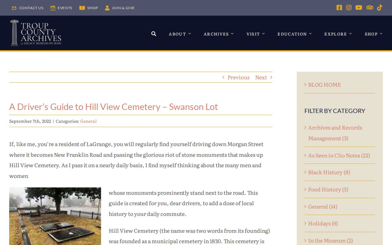
Hill View offers a local reminder that names and geography shift. The historic cemetery was founded in 1830, and its western boundary is described as Morgan Street/New Franklin Road. Search both street labels before deciding that an old address vanished.
Compare LaGrange Neighbor Sources
Official rolls and commercial neighbor tools serve different purposes. Official sources identify a custodian, date, and defined record role. Commercial compilations merge public filings with purchased or scraped data, often without showing how a name was matched. Their results may be old, merged, or assigned to the wrong person.
| Source type | Strength | Main limit |
|---|---|---|
| Official parcel, deed, permit, or voter record | Named custodian and dated fields | Shows only the role the record was built to document |
| Historical directory or map | Time-specific block context | Canvass gaps, year gaps, and old numbering |
| Commercial compilation | Broad discovery hints | Uncertain freshness, matching, and source trail |
Return to the official custodian before relying on a name, address, or title. Never use a compiled profile to bypass a confidential-address program.
Privacy for LaGrange Neighbors
Parcel records do not identify renters or everyone in a home. Utility customer and delivery data are not general public block directories. Georgia DDS address and driving-history data is excluded from ordinary open-record release. Safe at Home provides address substitution, mail forwarding, and sealed voter residence for eligible survivors; VoteSafe separately protects qualifying voter addresses.
The Georgia Open Records Act opens many agency records while O.C.G.A. § 50-18-72 and record-specific laws require redaction or withholding. A request must go to the office that actually keeps the record, and the office need not create a new neighbor roster. Ask for an existing, clearly described record only.
Lawful use. Research LaGrange neighbors for community history, civic awareness, reconnection, and personal safety. Never watch, harass, intimidate, or reconstruct a protected address.