
Walk a LaGrange Street by Address
Begin the LaGrange street directory with one complete physical address. Troup County's appraisal roll can connect it to an assessed owner and parcel. The GIS map supplies spatial context, while recorded deeds identify buyers, sellers, book and page, and the legal land description. Voter data and old directories can add time-specific residents, but each has access and coverage limits. Keep an evidence row for every lot, with the source date beside each fact.
Ownership is not the same as occupancy. A renter may not appear in the appraisal roll, and an owner's mailing address may point outside LaGrange. Even matching mailing and situs fields do not name a whole household. Use the chain below to separate what an address proves from what it merely suggests.
- Search the address in the Troup qPublic portal. Copy the parcel number, assessed owner, situs, mailing address, and legal description shown by the live card.
- Open the official Troup GIS maps gateway. Locate the same parcel and inspect the adjoining parcel pattern one lot at a time.
- For lawful voter research, distinguish an individual's private MVP check from a public voter-list order that includes residence fields.
- Search the owner as a grantee in the Troup County deed index. Match the legal description before accepting a same-name instrument.
- For past households, consult available directories, census schedules, and the 1911 Sanborn sheets without assuming uninterrupted occupancy.
Build LaGrange Street Directory Rows
A street-wide project needs a fixed method. Normalize the road name, direction, suffix, and unit style, but preserve the original wording in a source note. Then search each situs parcel independently. Record the owner mailing address in its own column. This keeps a remote owner from being presented as a resident and prevents one building's data from spilling into the next.
The live qPublic interface could not be inspected in the research capture because Cloudflare blocked automated access. Do not assume a field or filter exists until it appears in a normal browser. County pages do verify qPublic as the official property and parcel-number route, and the appraisal office at 706-883-1625 is the fallback when the portal fails.
| Field to capture | Source | Why it matters by street |
|---|---|---|
| Street or situs address | Parcel card | Places the assessment at the physical site |
| Assessed owner | Parcel card | Names the taxpayer attached to the parcel |
| Owner mailing address | Parcel card | Warns when owner and site may differ |
| Parcel number | Parcel card | Stable key for map and office requests |
| Legal description | Card and deed | Connects the lot across street-name changes |
Note: No official page explains the parcel-number segments, so copy the identifier exactly and do not assign meaning to its parts.
Map LaGrange Parcels Carefully
Troup County describes its GIS program as a joint city-county service. The map data include parcels and CAMA assessment data, address points and centerlines, roads, hydrology, planimetrics, two-foot contours, and four-inch aerial photography acquired in 2020. The program began in 2009, and the office formed in 2010. These layers help a street directory establish which lots touch a road and which government may keep the related permit file.
The exact live viewer controls were not available during research, so do not promise a radius, buffer, export, or multi-select tool. Browse visually at parcel scale, select one parcel at a time, and open the corresponding property information. A county map is not a legal survey or title opinion. When a boundary matters, rely on recorded plats and deeds.
LaGrange postal geography can extend beyond the municipal boundary. First establish whether the parcel is inside the city or in unincorporated Troup County. That choice changes the permit, code, and address-assignment custodian even when “LaGrange” appears in the mailing line.
Read LaGrange Address Terms
Four record terms keep a by-address search accurate. Define them before copying results into a street table, especially when the parcel, mailing, and deed records use different wording.
- Parcel
- A tract or lot treated as one property-assessment unit.
- Situs address
- The physical location of the land or building, distinct from the owner's mail destination.
- Plat
- A recorded map that identifies lots, blocks, streets, and survey details for a subdivision or tract.
- Criss-cross directory
- A directory organized by street and house number, when that arrangement exists in a volume.
A legal description carries the land identity when a street label changes. Compare subdivision, lot, block, acreage, metes-and-bounds calls, adjoining owners, and prior-deed references. Never accept a deed solely because its party name resembles the assessed owner.
LaGrange Street Records Side by Side
Each address-keyed source answers one part of the street directory question. Some identify ownership, some map the land, and others preserve a dated occupant or building clue. Showing both the value and the limit prevents a street list from becoming an unsupported household claim.
| Record Set | Keeper | What It Shows | Access |
|---|---|---|---|
| Appraisal roll | Troup Board of Assessors | Assessed owner, situs, mail address, parcel identity | qPublic or appraisal office |
| GIS map | Troup/LaGrange GIS | Parcel shapes, roads, address context, imagery | Free official viewer; office products |
| Deed and PT-61 indexes | Troup Clerk and GSCCCA | Transfer parties, book/page, legal land identity | Account web search; clerk terminal |
| Voter data | Georgia Secretary of State | Registered voters and residence geography | Individual MVP or paid public-list order |
| Permit and fire files | City or county department | Work, dates, service address, applicant or incident fields | Published reports or direct request |
| Sanborn and directories | Libraries and archives | Historic structure or time-specific occupant clues | Digital images, microfilm, or research visit |
The parcel number and legal description link the assessor to deeds and maps. Street and ZIP text can find permit rows, but the person shown as “issued to” may be an applicant or contractor. Historical directories name occupants only for their publication date. For current owner work, the appraisal-to-deed chain remains the most direct official route.
Follow LaGrange Deeds by Street
The GSCCCA real-estate gateway offers Real Estate Name, Book Page, Property, and Premium Instrument Type modes. PT-61 choices include Name, Document, Premium Address, Daily, and Map searches. For an ordinary LaGrange street directory search, begin with the owner and legal description from qPublic, select Troup County, then find the purchase deed under the owner's grantee role.
Grantor means the person or entity transferring an interest. Grantee means the recipient. Confirm the lot, block, subdivision, or other legal wording and the book-page reference. The seller on the matched deed becomes the candidate prior owner. To work backward, search that seller as a grantee and repeat.
The statewide online baseline is at least 1999, but the Troup-specific older cutoff is not stated. If the web trail ends, use the public GSCCCA terminal and grantor-grantee books at the Clerk's office. FamilySearch catalogs 32 reels of indexed Troup deeds from 1827 through 1927, providing a separate historical bridge rather than proof that every image is freely online.
The official PT-61 guide explains the buyer, seller, address, sales price, and deed cross-reference.
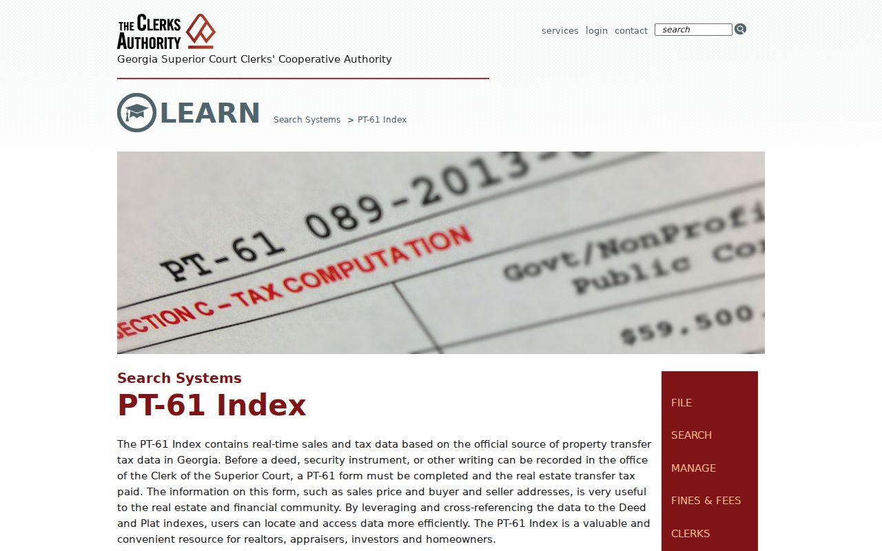
The captured guide shows why transfer-tax data adds transaction context but should not be treated as a current resident roster.
LaGrange Permits Add Address Dates
City permit valuation reports can be searched after download by service address or ZIP. Their columns include permit type, number, status, created date, issued-to name, service address, fees, square footage, and improvement value. A row can date construction or alteration, but the issued-to party may be a contractor or applicant rather than the owner or resident.
Current city building questions go to Community Development at 706-883-2060. For an unincorporated parcel, Troup Planning and Building is the correct office. The Archives also keeps building plans from LaGrange, Troup County, and Hogansville. Coverage varies widely and is mainly from the 1980s forward, while residential plans are rare. Ask by address and any known construction or renovation date.
A separate LaGrange Fire open-records form accepts incident number, incident date, occupants or owner, and property address. It can request an NFIRS report, a photograph CD, or another record. Reports may take up to three business days to become available, with cost set under the Open Records Act.
Historic LaGrange Streets Change Names
No official source established a citywide LaGrange renumbering rule or date, so a researcher should not invent one. A real local example appears at Hill View Cemetery, whose boundary is described as Morgan Street/New Franklin Road. The paired names show why one site can surface under different street labels in maps, directories, and narrative records.
Bridge a changed address through its legal description, parcel geometry, recorded plat, prior-deed references, and a Sanborn sheet. The February 1911 LaGrange Sanborn atlas has 12 sheets and can show building footprints, materials, uses, and the street layout. It does not name the occupant. A city or criss-cross directory can supply a dated name where the volume has a street section, but the full collection history belongs on the city directory page.
The official comprehensive plan also names the former mill residential villages Hillside, Calumet, Dunson, Elm City, Unity, and Dixie. Those names help interpret street patterns and development eras. They are not hard ZIP boundaries or household rosters.
County Addressing Beyond LaGrange
Troup County assigns or changes addresses for new development, homes, and businesses in the unincorporated county. Its address-assignment page links the governing ordinance and request form. The published fee is $25, delivered with the form and payment to Building and Zoning at 100 Ridley Avenue. Questions go to 706-883-1650.
Inside LaGrange city limits, confirm the city and GIS procedure instead of assuming the county assigns the number. Troup and LaGrange have shared GIS service since 2015, but governmental jurisdiction still controls permits and code files. A LaGrange postal city line is not a city-limit test.
The source capture shows the county procedure and payment route.
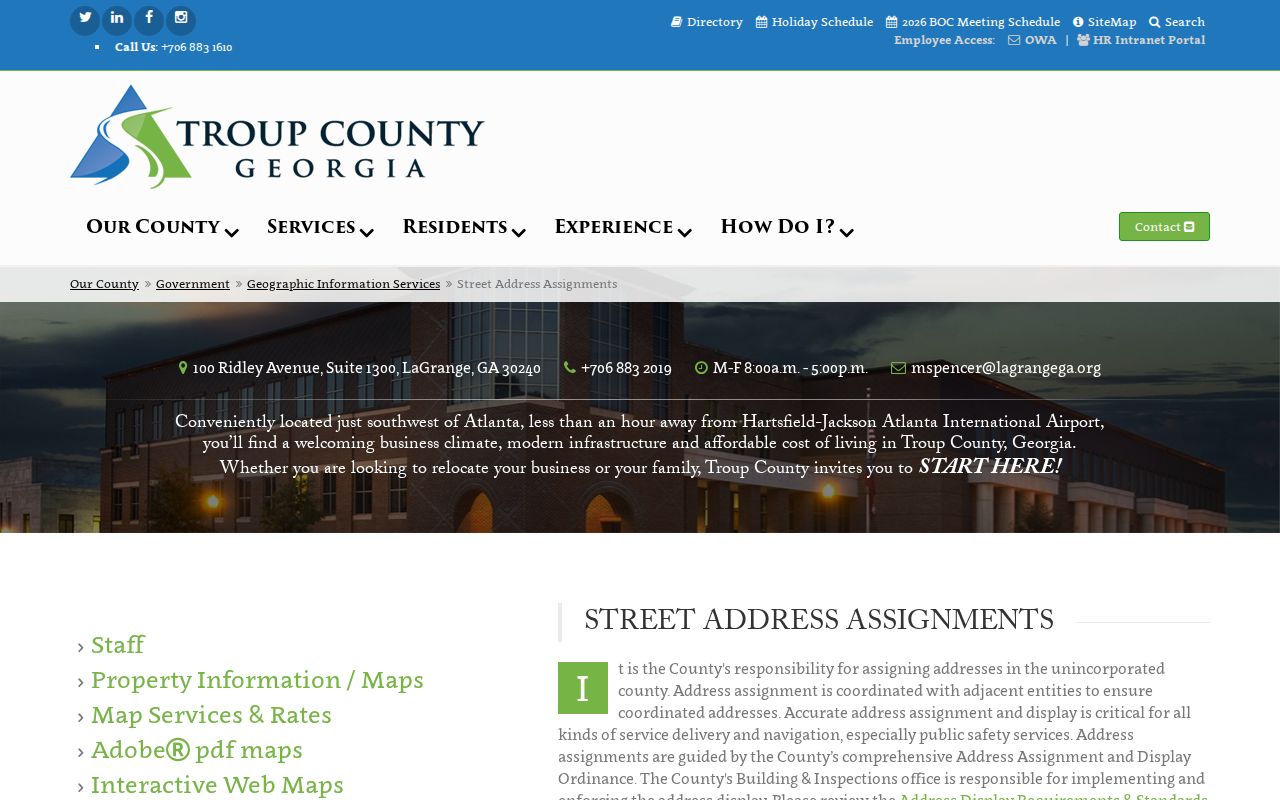
That procedure is useful for documenting a newly assigned unincorporated address, while older address changes still require deeds, plats, maps, and directories.
Limits of LaGrange Street Directories
A LaGrange street directory built from public sources will always have gaps. Appraisal data names assessed owners, not renters or all family members. A permit identifies an applicant, contractor, or issued-to party, not necessarily an occupant. A deed fixes a transaction and land interest. A voter file omits protected people and sensitive fields. Utility customer data and DMV addresses do not become general block directories merely because an address search is possible elsewhere.
Safe at Home and VoteSafe protect qualifying Georgia residents. Never use other sources to defeat that protection. Commercial neighbor compilations may blend stale filings with uncertain data and are not authoritative. For personal history, civic research, or seller verification, preserve the date and limits of every record and confirm important findings with the office that keeps them.
Lawful use. LaGrange address records may be used only for lawful personal research. Georgia law does not permit stalking, harassment, threats, or attempts to uncover a protected address.